
What is Ceres AI?
Ceres AI (formerly Ceres Imaging) provides aerial multispectral and thermal imagery captured from fixed-wing aircraft. The service delivers plant-level stress, disease, and nutrient detection for orchards, vineyards, and specialty crops. According to Ceres, the platform can identify issues 2-3 weeks before they are visible to the human eye.
How the imagery is captured
Ceres uses custom-built camera units mounted on fixed-wing aircraft, not drones. Flights occur during a four-hour window centered on solar noon to ensure consistent lighting. The imagery resolution ranges from 0.2 – 1 metre per pixel, capturing up to six wavelength ranges simultaneously. After a first-time flyover, Ceres typically returns processed insights within 24 – 72 hours.
What it measures
The platform generates a suite of analytics, including:
- Cumulative Stress Index – plant-level stress mapping.
- Water Demand Maps – irrigation recommendations.
- Variable-Rate Application zones – optimized input placement.
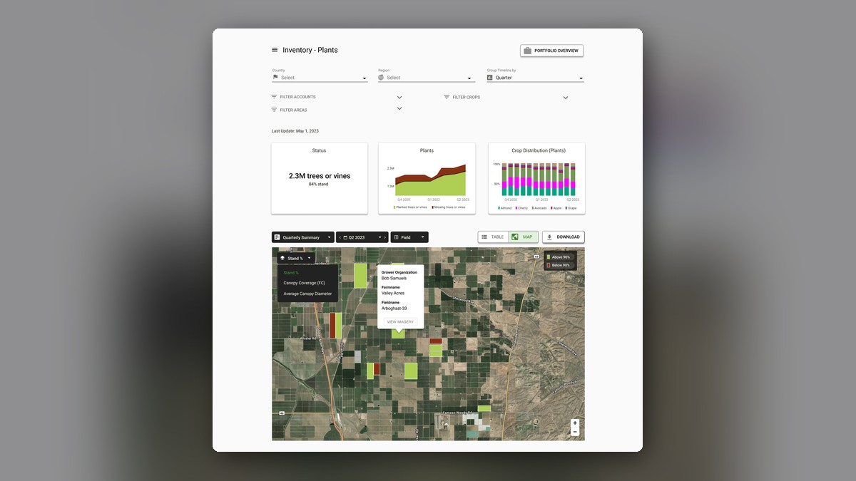
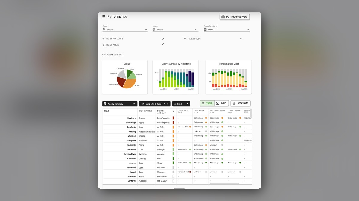
- Crop inventories – tree counts, crop type breakdowns, and vigor assessments.
These analytics integrate with farm-management systems via API access.
Who it is for
Ceres AI serves both growers and larger agribusiness stakeholders. The service is marketed to orchards, vineyards, and specialty-crop farms, as well as agribusinesses, insurers, lenders, and sustainability programmes that need detailed crop-level data for risk assessment and financing decisions.
What it costs and how to start
Pricing is not published. Prospects must request a consultation, after which Ceres provides a custom quote. All plans include agronomic support, flexible tasking (e.g., capture within 48 hours of a damage event), and rapid delivery of insights.
Related tools and categories
- Climate FieldView (Bayer) – satellite-based imaging alternative.
- John Deere Operations Center – machinery data platform.
- Arable Mark 3 – in-field sensor solution.
- Plantix – free photo-based disease diagnosis.
- AI crop monitoring category
- Full directory of AI tools for farming
Features
FAQ
How much does it cost?
Ceres does not publish prices. Imagery is planned around your fields and how often you want it flown, so expect a consultation and a custom quote.
How is the imagery captured?
Custom multispectral and thermal cameras are flown on planes over your orchards, vineyards, or specialty crops, giving high-resolution imagery that is not blocked by cloud cover.
What crops does it cover?
It is built for orchards, vineyards, and specialty crops, with over 40 crop types covered.

Leave a Reply