
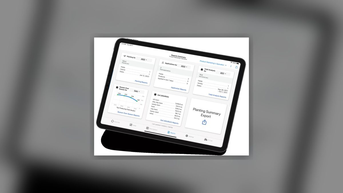
What is Climate FieldView?
Climate FieldView, part of Bayer’s digital farm-management suite, is a platform that lets growers collect, analyze, and act on field data in real time. By combining satellite imagery, sensor inputs, and on-the-ground observations, it builds a data-rich view of every acre, enabling smarter decisions about planting, fertilizing, irrigation, and scouting.
Who Benefits?
- Independent growers seeking better ROI on limited resources.
- Large agribusinesses that need scalable data pipelines across many hectares.
- Co-ops and consultants who service multiple farms and require a unified data hub.
Core Features
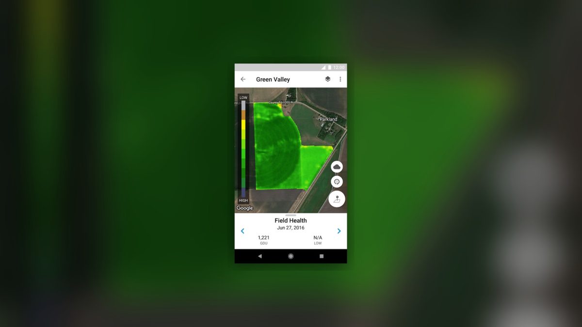
Satellite Imagery & Sensor Integration
- High-resolution satellite images refreshed regularly.
- Compatibility with a range of on-farm sensors (soil moisture, weather stations, equipment telemetry).
Prescription Mapping
- Data-driven maps for seeding, fertilizing, and scouting.
- Variable-rate recommendations that can reduce input waste.
Mobile App & Timely Alerts
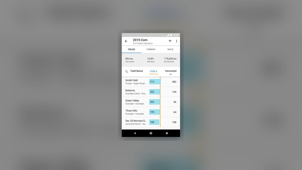
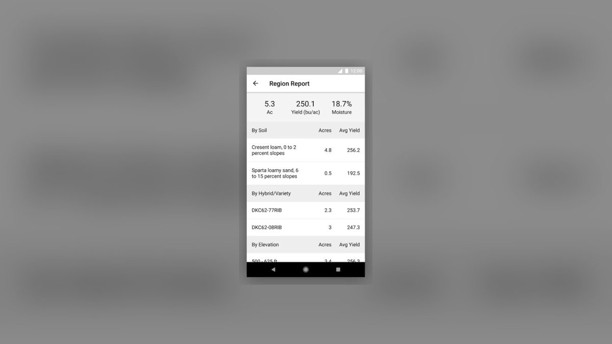
- On-the-go access to field insights via iOS/Android apps.
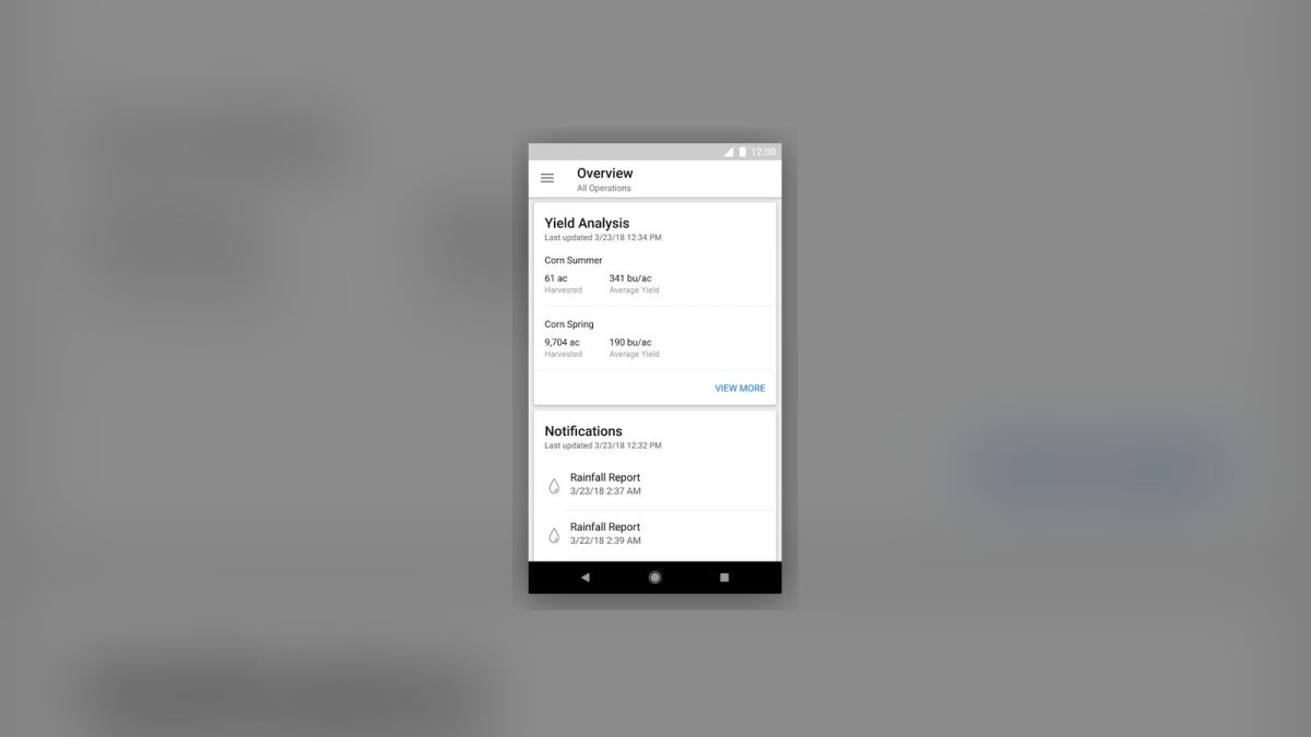
- Alerts that may help identify pest pressure, weather events, or equipment issues.
Practical Use Cases
- Decision support for input management, allowing growers to adjust fertilization based on field conditions.
- Automated scouting alerts that highlight potential pest or disease areas, helping reduce manual observation time.
- Equipment telemetry integration that can surface usage patterns, offering opportunities to review fuel consumption.
Benefits & ROI
- Potential yield improvements, though results can vary depending on many factors.
- Variable-rate applications can help avoid unnecessary inputs.
- Early-warning alerts may aid in mitigating weather-related losses.
- Scales from a single field to large enterprise operations.
Limitations & Fit Considerations
- Internet Dependence: Real-time features require reliable connectivity.
- Learning Curve: Teams need training to interpret maps and alerts effectively.
- Hardware Investment: Sensors and compatible equipment may involve upfront costs.
Related categories
Features
FAQ
What does Climate FieldView do?
Climate FieldView is a digital farming platform that collects, stores, and analyses field data. It provides satellite imagery, sensor data, and prescription maps so growers can make data-driven decisions about planting, fertilising, and irrigation.
Can Climate FieldView work with my existing equipment?
Yes. FieldView integrates with a wide range of tractors, planters, and sprayers from many manufacturers. The platform pulls machine-data directly from the equipment and feeds it into the prescription engine.
Is there a mobile app?
The FieldView app is available for iOS and Android. It lets you view field maps, get alerts, and adjust prescriptions from the field without needing a laptop.
How does pricing work?
FieldView offers a free Basic tier that includes data collection and visualization. Paid tiers add advanced features such as variable-rate prescriptions, yield-analysis tools, and API access. Pricing varies by region and farm size; see the Bayer website for the latest rates.
What kind of support is available?
Bayer provides dedicated customer support, on-site training, and an online knowledge base. Users can also join the Climate Community forum to share tips with other growers.

Leave a Reply